This is something I’ve wanted to do for a long time. Why? Not so sure, but it seems strange to live close to this range and never explore it at all. I watch the sunset daily over these peaks and I don’t even know what Oquirrh means.
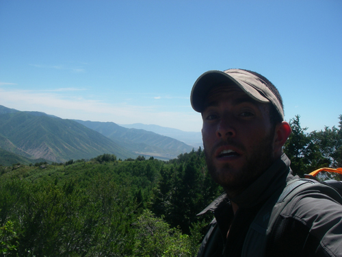
If you’ve been hanging out here much you already know I post too many pics and these are long outings for both of us. Oh well, here we go for another round, you might want to pace yourself.
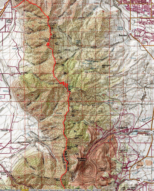
Topo of the route in red. Travel was from North (I-80) to South (Butterfield Canyon).
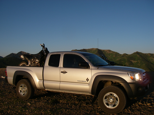
Working out my own car/moto shuttle, I ditched the truck on West Mountain and took to two wheels.
The moto makes self supported solo adventures easy.
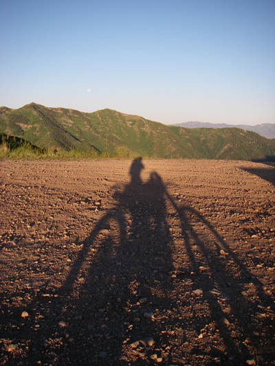
I drove down Butterfield Canyon, though Toole and into the town of Lake View.
- I found a good spot to lock up the bike and begin the hike.
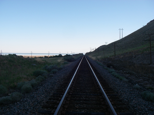
Started off at 7:40 by crossing some tracks and barbed wire .
Nice steep warm up following an old pole line.
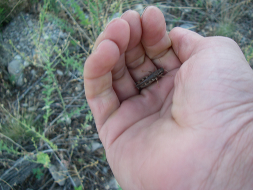
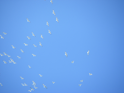
Just opening your hand would land you one of these guys.
Tried to move quick and get off the valley floor before it got too hot.
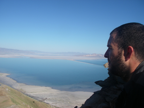
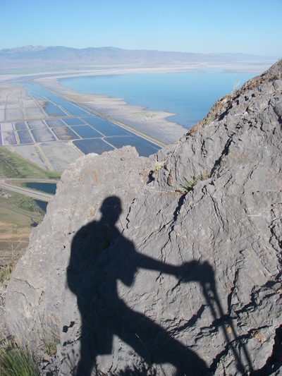
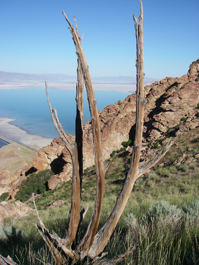
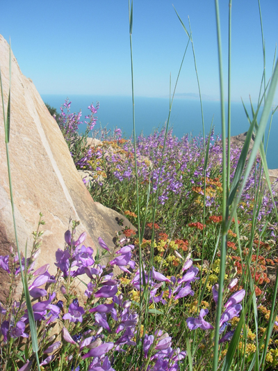
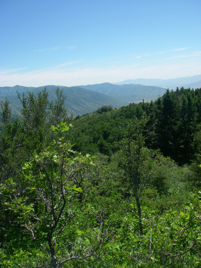
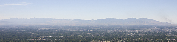
Taking in the views of the Great Salt Lake
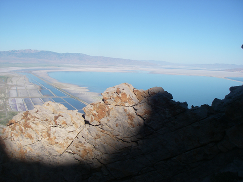
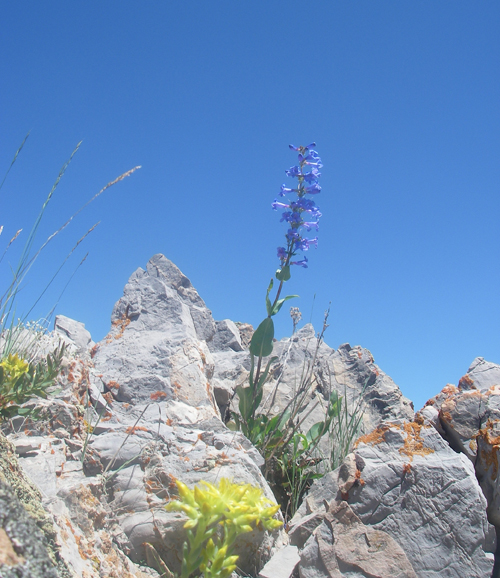
Beauty all around
At this point it Oquirrh-ed it would be a long hot day.
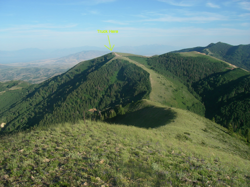
Finally up on the ridge and looking South at two of the taller peaks, Kessler and Farnsworth.
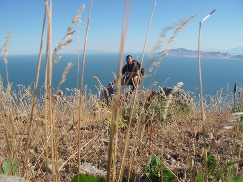
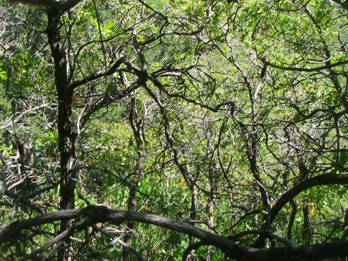
No trails really, just bushwhacking and scrambling so far.
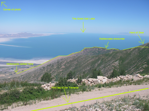
The first leg of the route from moto to Kessler Peak.
Farnsworth summit, should have brought my walkman.
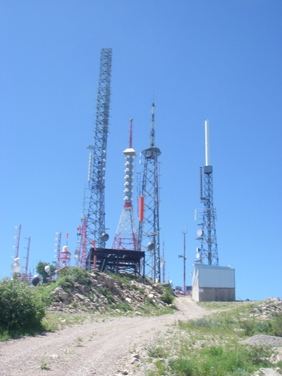
Once I hit Kessler there were some old jeep roads that led to the radio towers. It was nice to pick up the pace and make some progress in mileage. I was 4 hours in when I hit Farnsworth Peak.
I miss winter too!
There was a newly graded road that descended the other side of Farnsworth.
They must have smelled cricket on me.
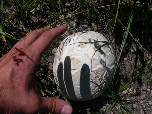
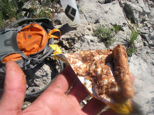
Don’t remember much after eating this!
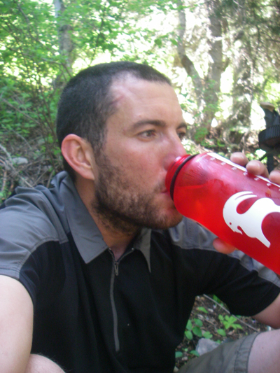
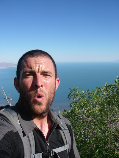
Shade, re-hydration and sponsors logo placement.
Entered one of the few wooded areas along the way.
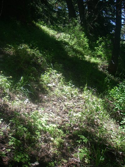
This section was try to follow the deer paths.
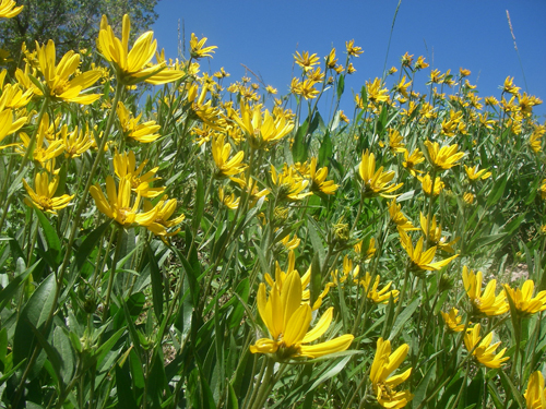
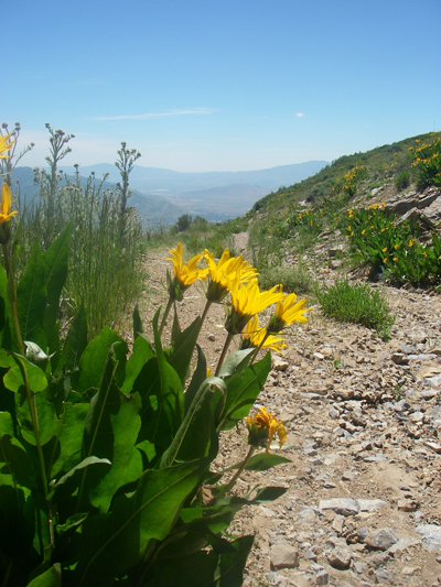
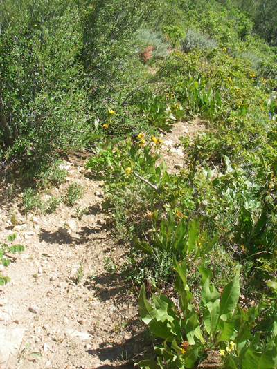
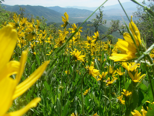
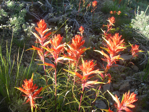
Oquirrh=Land of many wildflowers?
Broke out onto a rocky and barren ridge at this point.
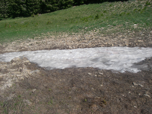
Stopped at this oasis and packed the water bottles full of snow.
I brought 4 liters for the day. This was the only water source I found and I was able to add an extra liter. I would have been hurting if it hadn’t been here.
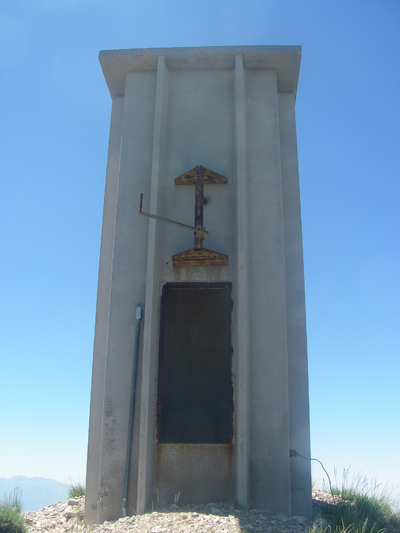
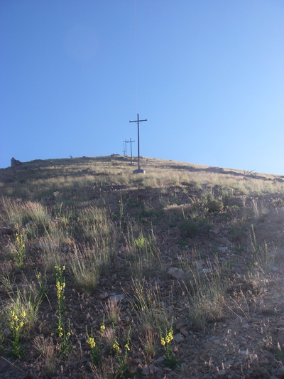
Summit of Nelson Peak. Anybody know what this is?
6 hours in, I figured this was the halfway point.
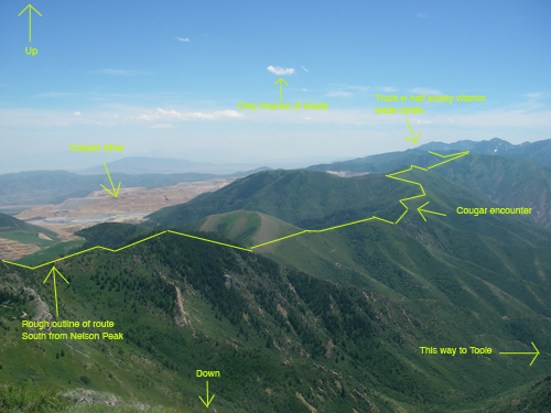
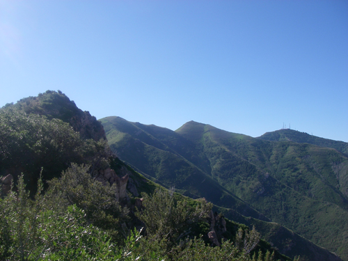
- Looking ahead at what’s to come.
This could really come in handy.
Couldn’t find the keys though.
Another nice old road grade descended South off Nelson.
The road didn’t last long and it was back into the wild.
Some serious bushwhacking without even deer trails to follow.
Maybe Oquirrh means the forbidden zone.
I really thought about turning back, or crying. But, there was nowhere else to go and I couldn’t spare the water on tears.
Finally broke free onto some sort of semi-path.
The sun was having the same effect on me and my butterfinger.
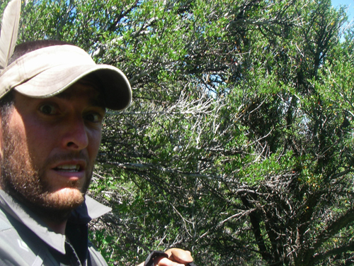
It was shortly after this point that I had a brief encounter with a cougar or mt lion. At first I thought it was a coyote and I went for my camera, then it’s head turned and I saw it was a cougar and my heart jumped. It was less than 100ft ahead of me on the ‘path’, it turned and saw me and moved into the thicker brush. I’ve never seen one in the wild and it may sound funny, but it felt like an honor (after the fear subsided) to see this beautiful cat roaming free in it’s own world. I picked up a large rock of skull crushing proportions and carried it for a bit just in case kitty wanted to dance.
At about this time my good friend Jay Beyer was riding the crest trail across the valley in the Wasatch Range. We were texting and he said he could see me and took this pic of the Oquirrh’s.
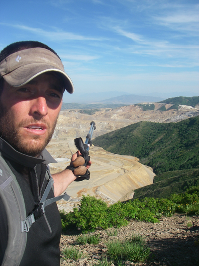
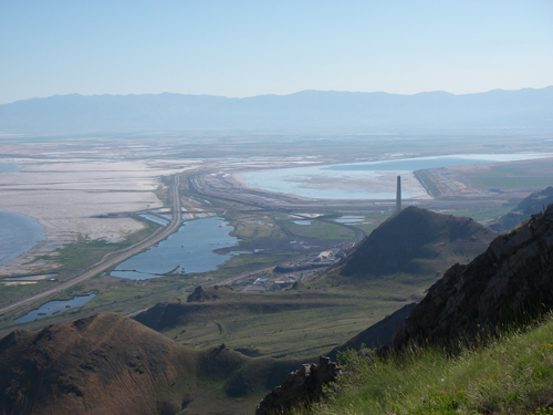
Not sure why I’m pointing out the copper mine? It’s kinda tough to miss.
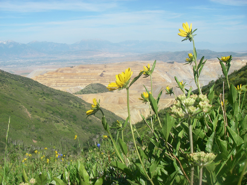
The dramatic contrasts between nature and man’s idea of growth.
This coming from the man burning fossil fuels from two metallic vehicles so he can make a pointless traverse in the sky.
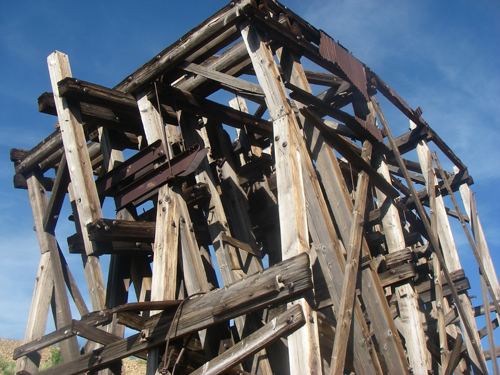
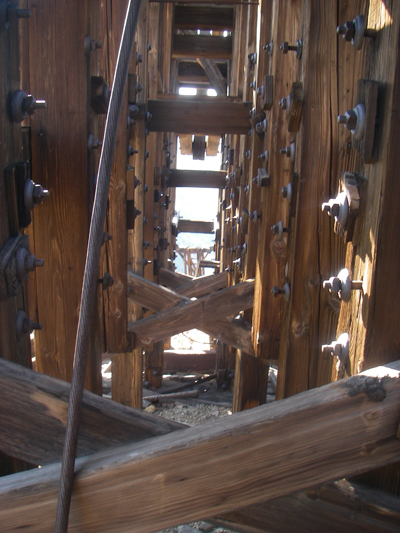
The top terminal of an old ore tramway that runs down into Pine Canyon.
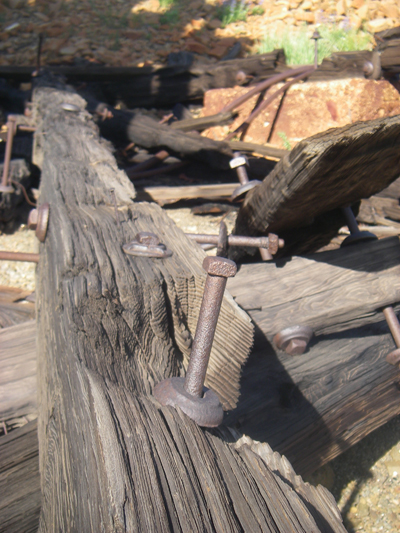

Several old boarded up mines.
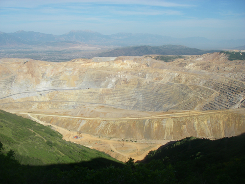
This one is going to take a lot of boards. More gold and silver taken from here than the California, Klondike and Nevada mining rushes combined (thanks wikipedia).
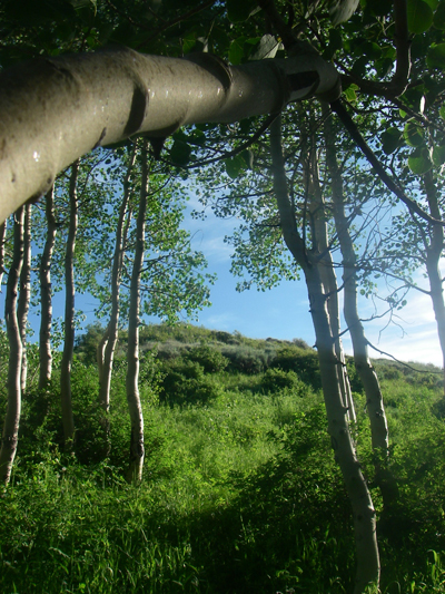
Aspen grove near the top of Clipper Peak
One final down and up brings the tally to 13K of climbing and 8K of descent.
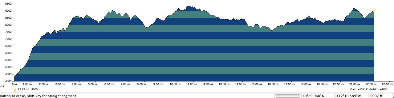
Elevation Profile
Turns out Oquirrh means shining mountains or wooded mountains, depending on the native tribe. For me it was 12 hours through 22 miles of the most beautifully conflicted land I’ve ever had the extreme pleasure of passing through.
sorry, forgot the link. http://slcsherpa.blogspot.com/2011/02/oquirrh-traverse-in-day-otiad.html
sorry, forgot the link. http://slcsherpa.blogspot.com/2011/02/oquirrh-traverse-in-day-otiad.html
Hey Noah,
Thought you might be interested in this. It’s a different place in the winter. Funny how adding snow to a peak can make it more impressive. Lot’s of stellar looking lines and a lot of terrain south of the Butterfields. Gonna have to say, your post was part of the planning/inspiration. Thanks.
Andy
I had heard of plans for skiing there. Looks to be super mellow and they don’t get much snow. Tough to leave the Wasatch for the Oquirrh’s.
I had heard of plans for skiing there. Looks to be super mellow and they don’t get much snow. Tough to leave the Wasatch for the Oquirrh’s.
So, Noah, how does the ski terrain look? As you probably know, Kennicott has plans for lifts on the east side, half way between the pit and the smokestack.
So, Noah, how does the ski terrain look? As you probably know, Kennicott has plans for lifts on the east side, half way between the pit and the smokestack.
Awesome Noah, really enjoyed reading about the trip and the photos were great. Good times…
Awesome Noah, really enjoyed reading about the trip and the photos were great. Good times…
I look at those everyday and my grandpa worked on the mine’s train system before they had the trucks. You never hear of people hiking in those mountains…till now. Loved it!
Very cool adventure and such great photos and commentary…
Very cool adventure and such great photos and commentary…
You put the E in EPIC. Nice one!
You put the E in EPIC. Nice one!
Fantastic! Looks like you always have fun on these solo monster outings.
Fantastic! Looks like you always have fun on these solo monster outings.
Thanks for the heads up on the elk/deer misidentification. I’d say I would love to join you and do it again, but that would be a lie.
BG- I’m really glad to hear that. Life=one big stupid fun adventure. Let me know how it goes.
Thanks for the heads up on the elk/deer misidentification. I’d say I would love to join you and do it again, but that would be a lie.
BG- I’m really glad to hear that. Life=one big stupid fun adventure. Let me know how it goes.
Inspiring stuff! Seriously. It’s made me think of coming up with my own stupid adventures after enjoying this story.
Inspiring stuff! Seriously. It’s made me think of coming up with my own stupid adventures after enjoying this story.
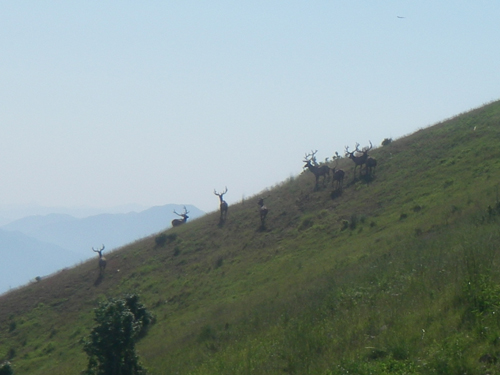
FYI, those are elk, not deer, in that picture. It’s pretty rare to see that many bulls together. Very cool!
FYI, those are elk, not deer, in that picture. It’s pretty rare to see that many bulls together. Very cool!
I was honestly thinking of trying that this summer. You spoiled it for me! Just kidding, nice work!
nicely done Noah. Your posts help in keeping the voices at bay until the snow flys.
nicely done Noah. Your posts help in keeping the voices at bay until the snow flys.
Hey Noah,
Thanks for the long outing. I always enjoy them.
Jeremy
Hey Noah,
Thanks for the long outing. I always enjoy them.
Jeremy
Very cool, I love the photostories. Keep ’em coming.
Very cool, I love the photostories. Keep ’em coming.