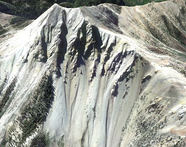
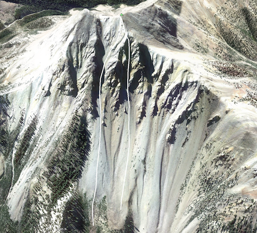
This past weekend was my mothers retirement party in St George. Good excuse to get outside the Wasatch and explore on the way down south. I’ve only skied in the Tushar Mountains once and well, we did more drinking and puking than skiing. I’ve been scrolling around on Google Earth looking for obscure spring outings and Mount Baldy (12,090 ft, second highest in the range) happened to be right on the way! Hard to look at this gorgeous sculpted face in the third highest mountain range in Utah and not be drawn in for a closer look.
The Tushars have great access for the peaks to the south, but Mount Baldy and the northern area is a different story. The recommended routes in Backcountry Skiing Utah are either approaching from Eagle Point ski area 7 miles to the south, but that seemed very long with a lot of up and down. Or driving up to Blue Lake, but the road is at a higher elevation and I thought it might not be free of snow yet (this was the case). Looking at Google Earth, the route seemed pretty straightforward by approaching from Manderfield Reservoir. Sometimes it’s a good thing to not do too much research, or calculations of elevation and mileage since you could talk yourself out of a bad idea before it even begins. Here is the route I chose.
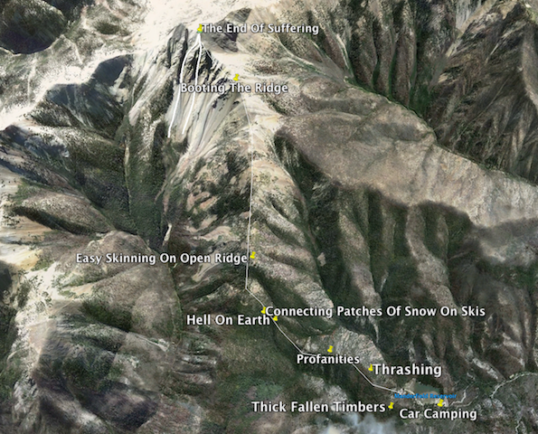
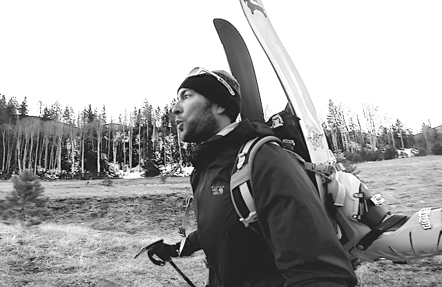
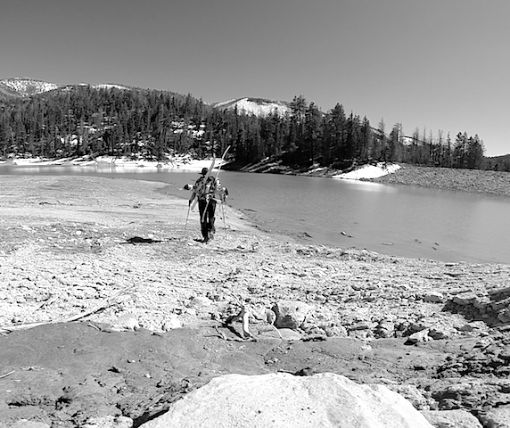
The road to the reservoir was nice and dry and I arrived late and slept in the back of the truck. 6:00 wake up call and I was off munching on a Mavericks cinnamon roll. I was very optimistic, but that didn’t last long.
“I believe any success in life is made by going into an area with a blind, furious optimism.”
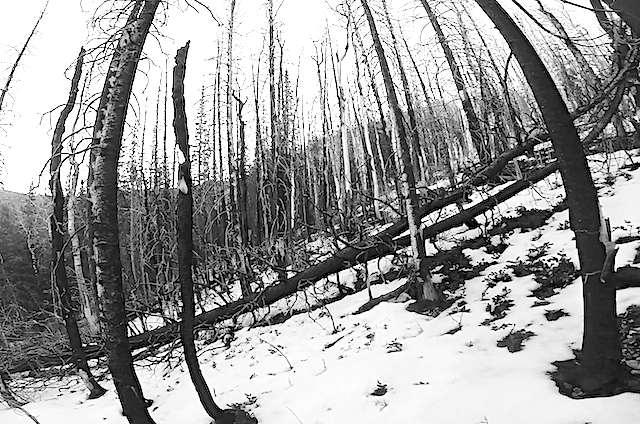
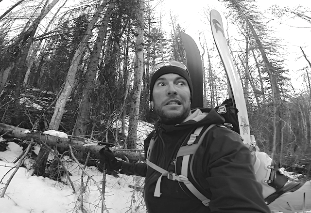
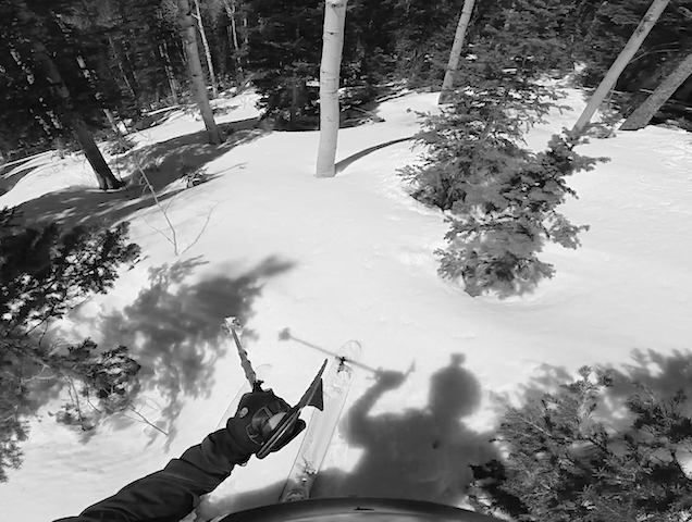
I expected some bushwhacking, but what I found was absurd. So much deadfall and beautiful rotting burnt out trees.
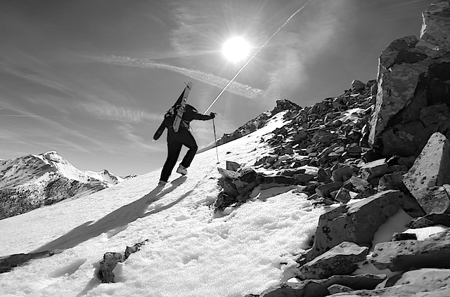
Forcing my way up onto the ridge seemed like the best call.
My guess was that the word Tushar came from the word tush, as in it’s a real ass-kicker, but that’s not the case. Tushar comes from the Piaute word T-shar, which means “white”.
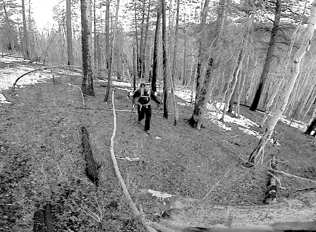
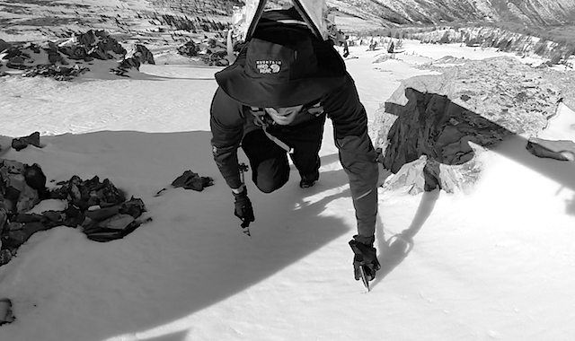
On the ridge I found less deadfall, but that was replaced by thick brush that grabbed tightly at boots, straps, skis, poles and greatly slowed progress and damaged morale.
Not sure what it’s true name is, but I dubbed it “bitch-root” because I kept complaining about it and look I still am.
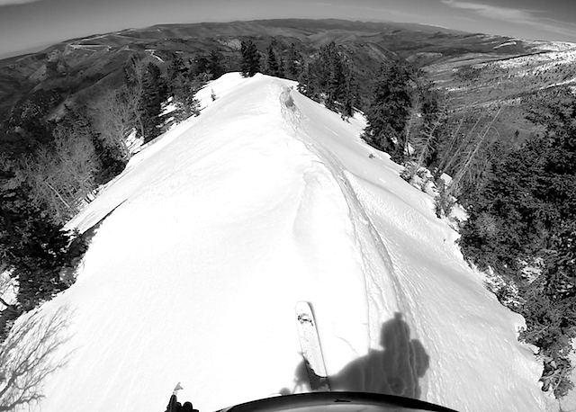
Sweet relief when the summit ridge was gained, the trees opened up and I traded shoes for skins. 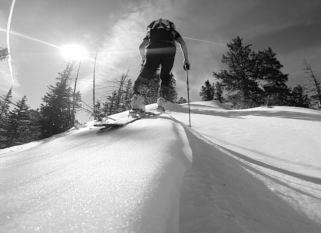
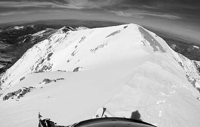
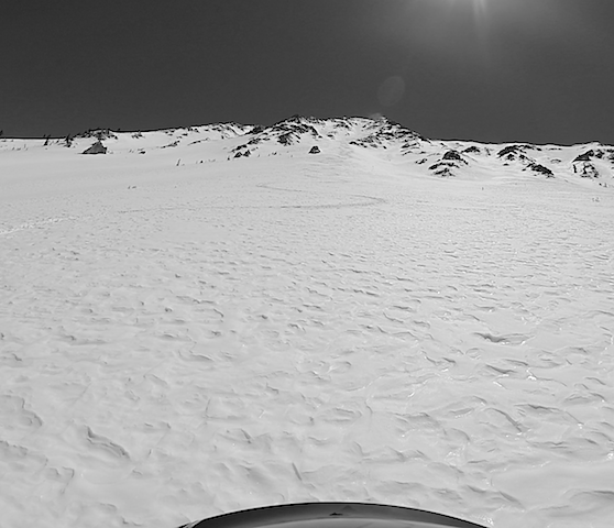
First view of the north face. Unfortunately it was much less steep than it had appeared on Google. 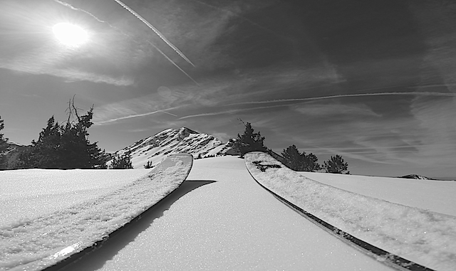
But still a great looking playground!
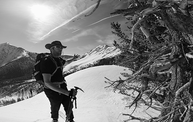
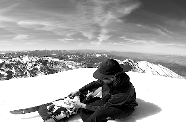
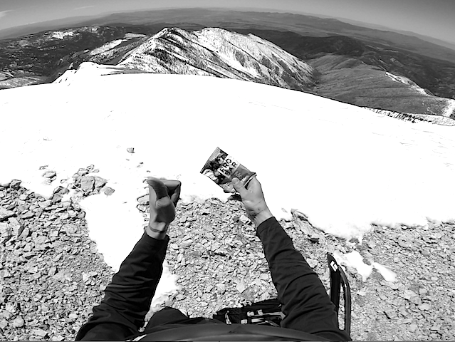
Close to 4 miles and 4,300ft later it was time to picnic on the summit.
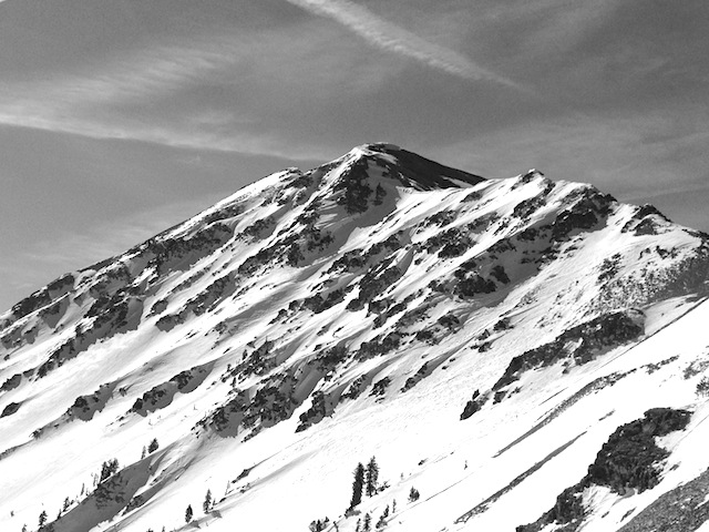
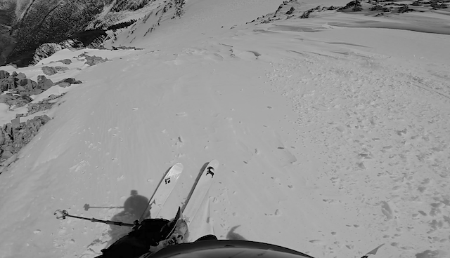
The north face was the main draw, but I was feeling randy and this south chute looked too good to pass up.
I dropped in from the east peak of Baldy and enjoyed some velvety corn for 500+ft then it became breakable and nasty so I pulled the plug and booted back up to the summit.
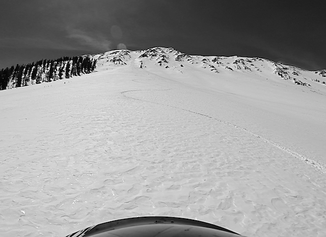
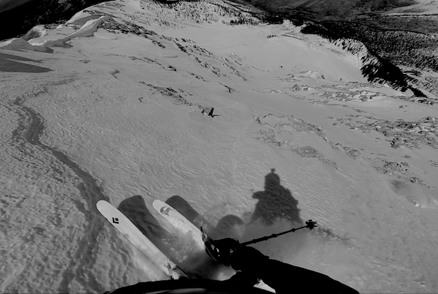
Next up was the wind effected main north chute, or “Cleaver Couloir” as Tyson Bradley calls it in the Backcountry Skiing Utah guidebook.
Really friendly and perfect ski terrain that starts at close to 40 degrees and eases into a great apron where I found perfect whipped cream.
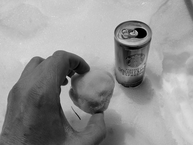
Double Shot snow cone before the hike back up.
And on the more healthy side, a ProBar at the summit before another ski down.
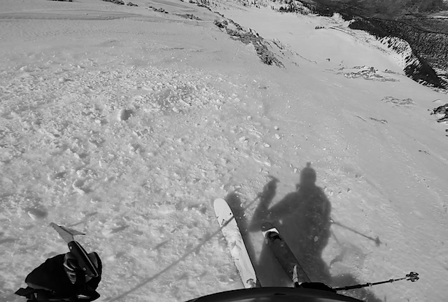
Next round I dropped the skiers left chute.
And found similarly wind effected, but friendly turning conditions. I’ve spent over 20 days on the Carbon Convert skis and I’m pretty impressed with the lightweight performance (end of unsolicited product testimonial).
The two lines off the summit.
And plenty of skiing still to come as I retraced my route down the ridge.
And back into the patchy trees.
And back into the brushy hell!
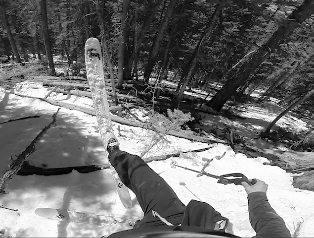
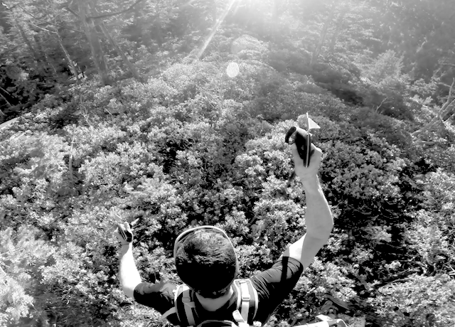
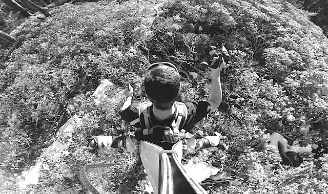
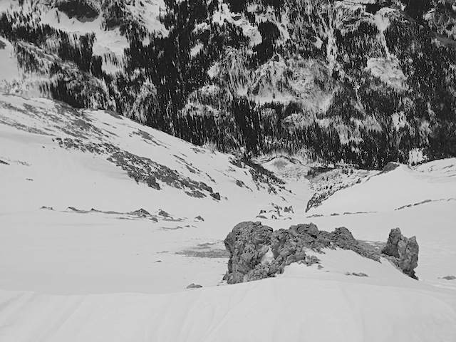
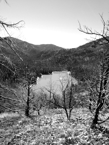
This is a candidate for “the worst” bush-whacking that I’ve done. I think the route is a good one if you could skin in on snow, so earlier in the season would be the best option, or it might be much better in a bigger snow year. Refreshing to see the reservoir and the final stretch.
No fucking around I went straight to the lake and jumped in. Great day in the mountains with 8K feet of skiing in interesting “new” terrain.
Not sure I would consider this one a spring “classic” like Nebo, or Timp, but if you’re in the neighborhood?! The peak has some excellent skiable terrain off every aspect, but the approach will keep this one on the seldom skied list.

1 comment